A summary of the History of Pollok House
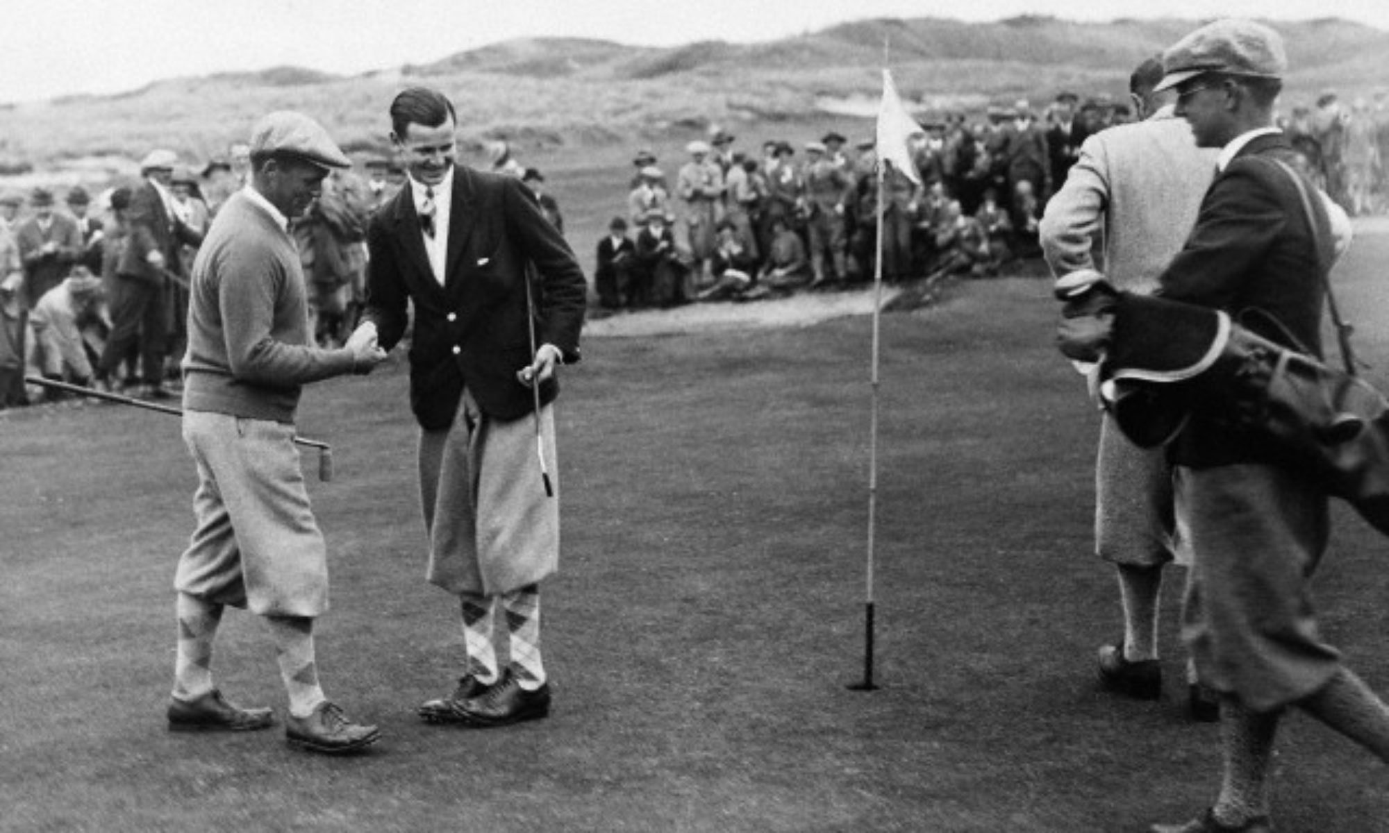
Original caption: “You have played very well indeed,” said “Bobby” Jones, when in the sixth round in the Amateur Open Championship, he walked towards Andrew Jamieson, the 21-year-old Scot, who had defeated him on the 15th green.
Click to read the full Article
from http://www.parksandgardens.org
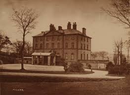
Image: Pollok House Barrow submitted by spiral3
")
“The site has very easy access via Pollok Estate and is situated on Pollok Golf Course a five minute walk from the stone bridge. It consists of an artificial mound and is has yew trees growing on top, it could be Bronze Age.”
From http://www.megalithic.co.uk
Vast amount of information about Pollok Estate in this document. Read here

Alan English gave this contribution to the Archives which are being documented by Mitchell Library but has kindly supplied a copy for our website.
click to read
The village which existed on the golf course side of the bridge over to Pollok House

From http://canmore.org.uk/event/607067
Some images from http://meing53.weebly.com/pollok-history.html

Click on any image to view full size
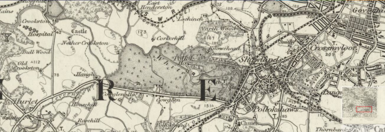
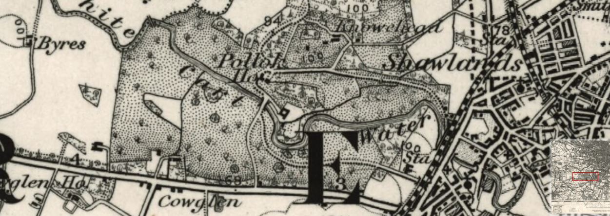
The name “Damshot” appears on the old maps which can be found elsewhere in our Archives.
The derelict farmhouse beside the 2nd tee on Cowglen is a sad sight.
A number of Glasgow history websites have content, some of which is in the following composite document. There was mention of it being a social club about 1980.
Click to view